In the crucial task of sustainable forest management, technology has proven to be a game-changer. Satellite data and drone images, among other cutting-edge tools, have revolutionized the way we track and monitor deforestation, changes to the forest area and identify different forest types. With every passing day, technology is becoming increasingly crucial for forest management and conservation, leaving no doubt it is here to stay. With the aid of technology, researchers and conservationists can gain a deeper understanding of forest dynamics, and protect them more effectively. In this regard, we spoke with Jos Westdijk, who combines his expertise in geo-information science and forest- and nature conservation to contribute to forest landscape restoration projects at Form International.
At Form International, a combination of satellite data and fieldwork data is used to gain an in-depth understanding of forests in the regions where the organization operates. Jos conducts research and analyses data to help develop projects. He joined Form International a year ago.
“I wanted to find a place to fulfil my passion for forest and nature conservation, while being able to work with remote sensing and Geographical Information Systems (GIS). When I discovered Form International, I was intrigued by its mission to protect tropical forests, as this is an issue that I find both interesting and important. I am passionate to contribute to the recovery and protection of the tropical forests on our planet while also improving the livelihoods of people who depend on it for their subsistence.” – Jos
Jos utilizes satellite data from varying sources, such as Sentinel and Landsat, to monitor different project areas. For REDD projects in tropical forests, it is crucial to understand the different forest types and sizes deforestation rates. The data he analyses helps to classify sites and identify different types of forests, such as mangrove and lowland forests. Currently, Jos is immersed in a fascinating project in Congo, where he is classifying different vegetation types, calculating carbon storage capacity and ensuring that the project meets all the stringent requirements of Verra carbon certification for a REDD+ project.
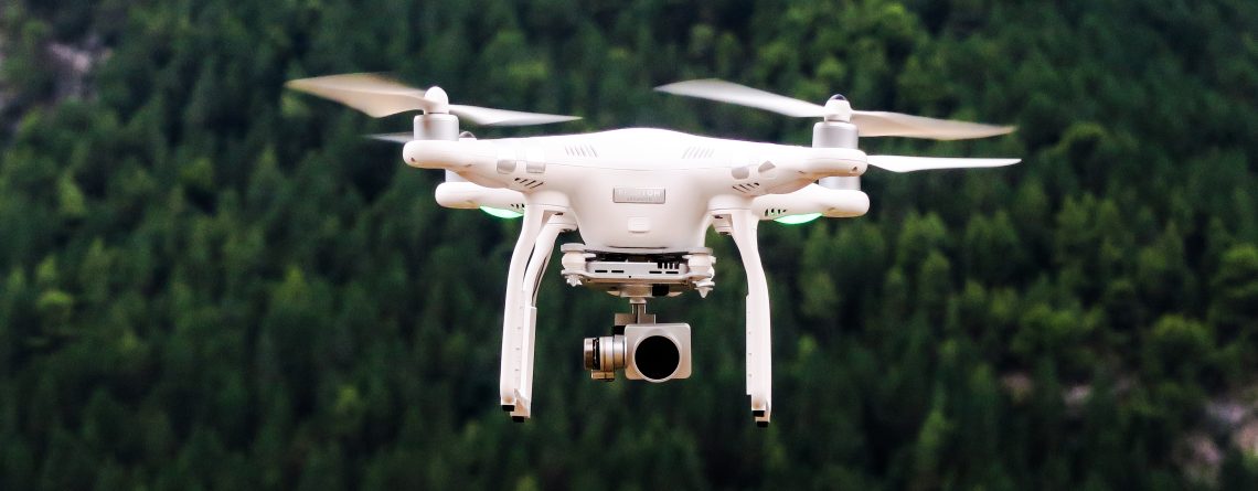
At times, satellite data can fall short in providing enough understanding of forests, for instance due to subsistent cloud cover. Here, drones can offer a solution. They can be used to increase efficiency and reduce costs while still providing comprehensive data for specific areas. A pilot project in Peru is currently in development, which requires 1 by-1 meter drone images of a plantation area to identify tree crowns. This combination of satellite or drone data and fieldwork provides a more accurate and detailed picture of the forest’s health and well-being.
Jos also explains how remote sensing, which enable us to acquire information about features of interest, can reveal elements invisible to the human eye, like physical structure and chemical composition. Remotely sensed imagery provides a view of the Earth’s surface that allows features to be identified, located, and characterized, and can be used in a range of forest ecology and management applications. Below this text, you will find a link to an article that gives more information about remote sensing and its important role of this in forest ecology and management, which includes applications as diverse as mapping the distribution of forest ecosystems and characterizing the three-dimensional structure of forests.
Looking to the future, Jos has high hopes for the use of LiDAR technology in forest management. This innovative technology can be used to map the vertical structures in a forest using point clouds. This technology can be used to create a more accurate perception of a forests’ biomass. Although expensive to hire and not something that many organizations have in-house, Jos believes that LiDAR technology will become more widely available in the future. He concludes:
“You can’t be left behind when it comes to new technologies in forest and nature conservation, you have to take advantage of the potential to increase efficiency and reduce costs to successfully implement forest conservation projects. I am happy that Form International gives me the possibility to work on this and I am eager to make an impact in the field of forest and nature management through the use of GIS and new technologies”. – Jos
——–
We would like to add two articles providing more information on the applications of remote sensing in forest ecology and management, as well as the technology’s applications in forestry and REDD+ initiatives.
- Applications in Remote Sensing to Forest Ecology and Management – By Alex M. Lechner, Giles M. Foody, and Doreen S. Boyd
- Remote Sensing Technology Applications in Forestry and REDD+ – By Kim Calders, Inge Jonckheere, and Mikko Vastaranta et al
If you want to know more about our work please contact us at info@forminternational.nl.

